
Belt Publishing
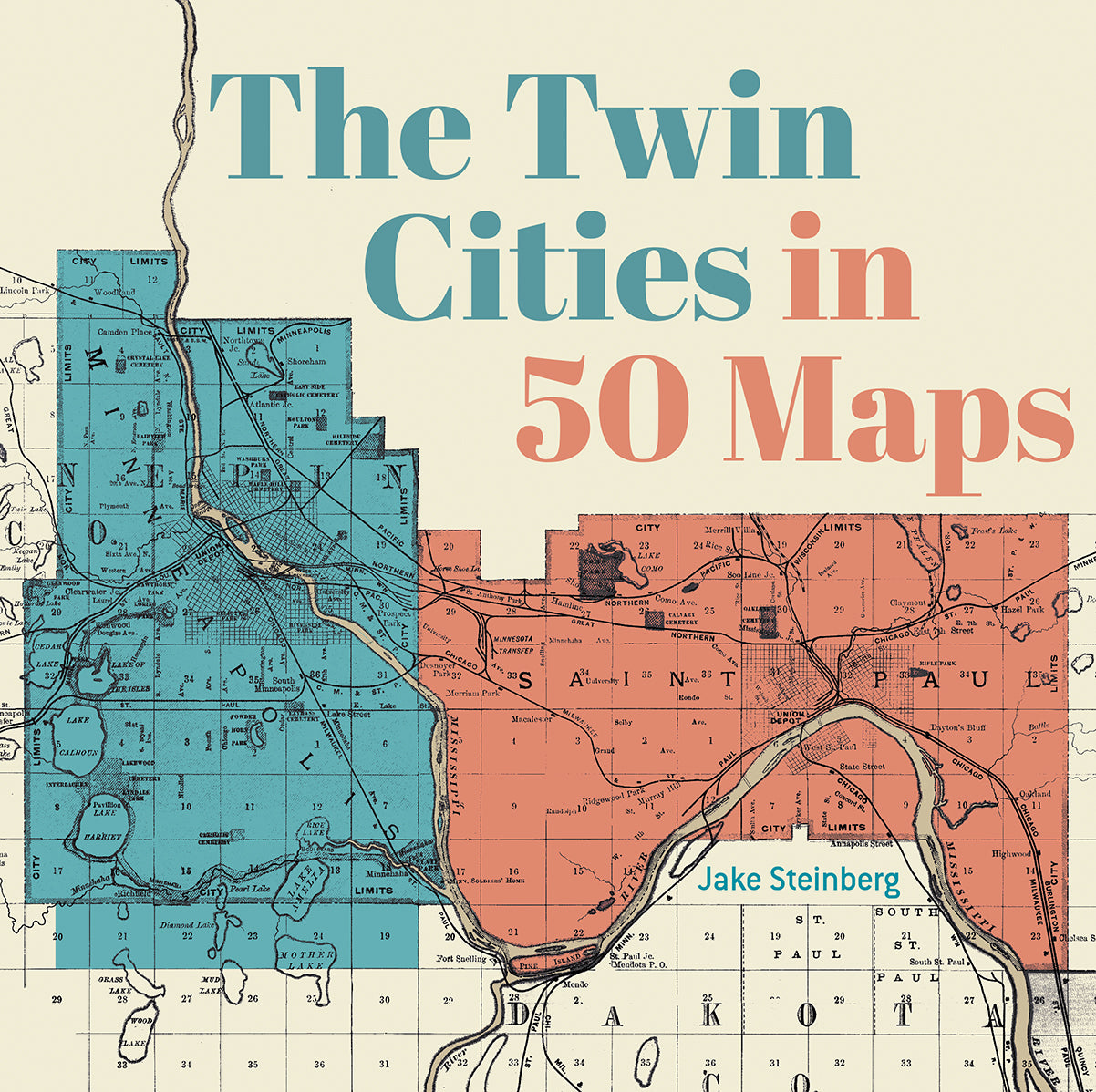
The Twin Cities in 50 Maps
Couldn't load pickup availability
By Jake Steinberg
publishing November 17, 2026; preorders open! The newest entry in our 50 Maps series.
Explore Minneapolis and St. Paul in a brand new way through a full-color book of maps.
New, colorful, innovative maps show everything from the original Dakota place names in the region to the bedrock geology below our feet; the smellscape of the Minnesota State Fair to which buildings have claimed the most bird lives; how racial covenants shaped the cities to mapping the 2025 Operation Metro Surge, when ICE descended in force and the cities resisted. Perfect for newcomers and city experts alike.
Jake Steinberg is a graphics reporter at the Minnesota Star Tribune. He holds a BA in journalism from the University of Minnesota and an MS in cartography and GIS from the University of Wisconsin–Madison. Originally from the east metro, Jake lived in and reported from Alaska, Arizona, Iowa, Wisconsin, and New York before returning to Minnesota. His maps have appeared in the pages of The Wall Street Journal and have been featured in the Atlas of Design, the North American Cartographic Information Society’s premier showcase of exemplary mapmaking. Jake lives in the suburbs of Uptown Minneapolis with three bikes, a rotating cast of plants, and Juneau, an American dingo.
ISBN: 9781540270320 | 8x8 | Hardback