Belt Publishing
Great Lakes in 50 Maps
Couldn't load pickup availability
By Alex B. Hill
June 3, 2025
The largest freshwater system on Earth, like you’ve never seen it before.
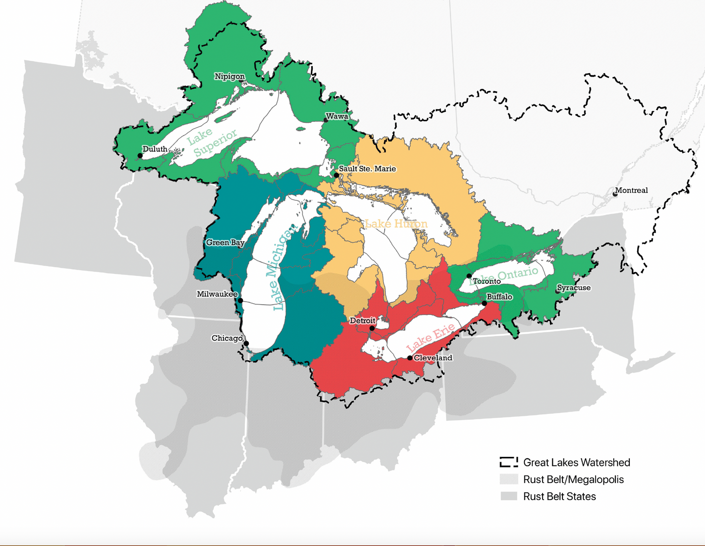
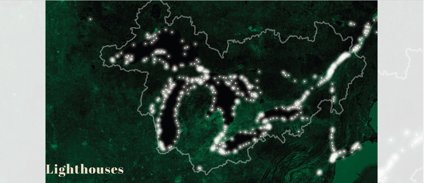
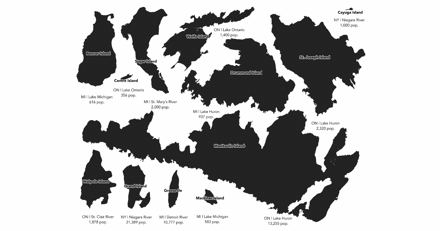
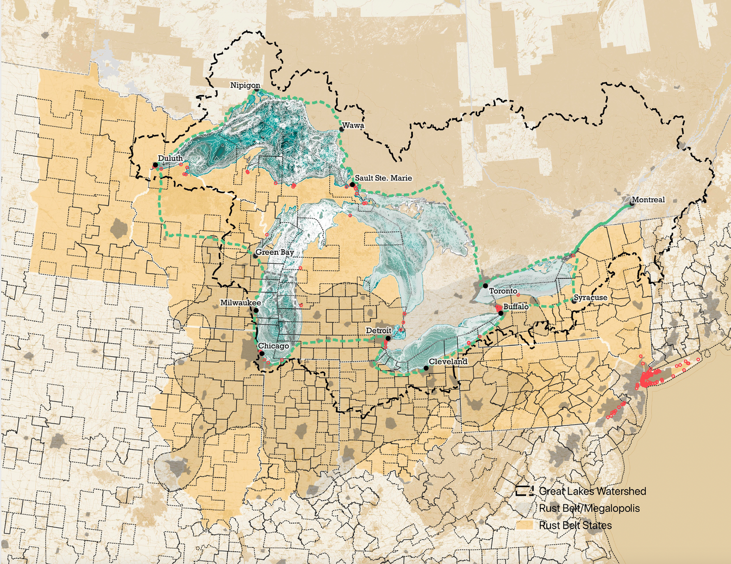
The Great Lakes region is home to one-tenth of the United States’ population, and one-quarter of Canada’s. Even if we remember the mnemonic HOMES, we might forget what a natural wonder they are. Cartographer Alex B. Hill, author of Detroit in 50 Maps, shifts our perspectives and offers a fresh look at the five lakes and the vibrant region surrounding them. Split into four categories—history & culture, ecology, infrastructure, and physical—these fifty-plus maps show the lakes’ influence and confluences, from the Underground Railroad to monarch butterfly migration. See how many NFL teams play on a Great Lake, where mysterious shipwrecks and Bigfoot sightings cluster, the lakes' effect on snowfall, and even how “not so Great” lakes have vied for (and in one case, temporarily won) a coveted Great designation. Shrinking wetlands, oil spills, and rising temperatures due to climate change reflect both the fragility of the lakes and the vital role they play.
Great Lakes in 50 Maps is perfect for anyone who appreciates the history, nature, and future of the world’s greatest group of lakes.
---
Alex B. Hill is a data director focused on community research in Detroit. He is the author of Detroit in 50 Maps and is a regular mapping contributor to Detroit PBS, Model D Media, and the Detroit Free Press.
Hardcover | 11 x 8.5 | ISBN: 9781540270009


