
Belt Publishing
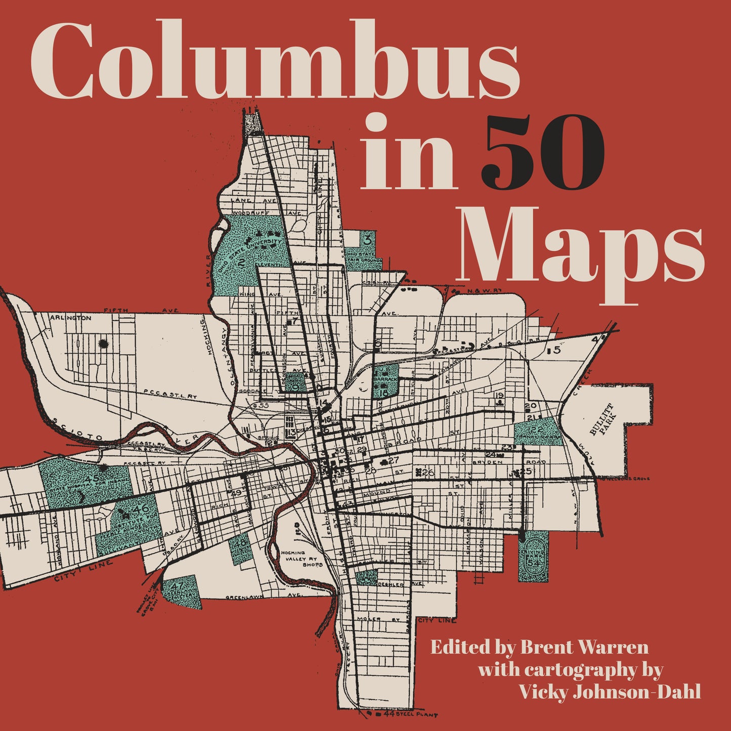
Columbus in 50 Maps
Couldn't load pickup availability
Edited by Brent Warren with cartography by Vicky Johnson-Dahl
December 2, 2025
This full-color book of maps, one of Belt Publishing's 50 Maps Series, presents the capital and biggest city in Ohio like you've never seen it before.
Once called "cowtown," Columbus, Ohio, is now a sprawling metropolitan area and home to the behemoth Ohio State University. Is it still the Biggest Small Town in America?
The fifty-plus maps here show things that are inherently Columbus, from ComFest to the present and former locations of arches in the Arch City. But you will also find maps that offer surprising ways of looking at the city, whether charting immigrant populations, LGBTQ+ landmarks, or mass transit that was never actually built. Divided into four sections—Situating the City, Getting to Know the City, Getting Around, and People and Places in the City—Columbus in 50 Maps will excite current, former, and future Columbusites as well as people with an interest in the region or creative urban cartography.
--
Brent Warren is a staff reporter for Columbus Underground covering urban development, transportation, city planning, neighborhoods, and other related topics. He grew up in Grandview Heights, lives in the University District and studied City and Regional Planning at OSU.
Vicky Johnson-Dahl is a cartographer, drummer, ice cream maker, director at large of the North American Cartographic Information Society (NACIS), and a Buffalo native. She is the author of Buffalo in 50 Maps (Belt). Her favorite things to do in Buffalo are kayak on the river and enjoy a chicken finger sub. Vicky currently lives in Washington, DC, with her husband and cat. Go Bills.
---
ISBN: 9781540270023 | Hardcover | 8 x 8
For publicity requests, please contact publicity@beltpublishing.com