
Belt Publishing
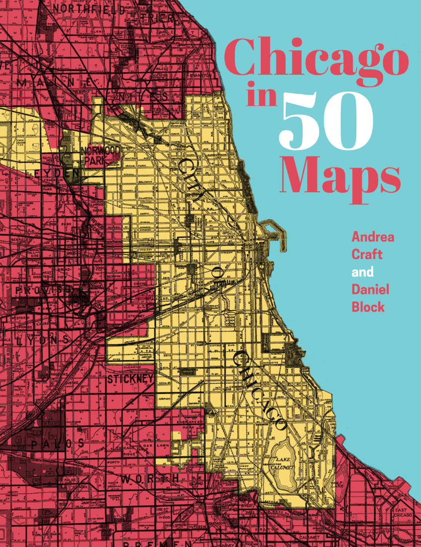
Chicago in 50 Maps
Couldn't load pickup availability
By Daniel Block & Andrea Craft
April 6, 2027
This is a pre-order. Copies will ship in April 2027.
Creative, colorful, original new maps of Chicago from local cartographers. For Chicagoans new and seasoned, urban planners, and anyone who wants to get to know the city better.
At first glance, Chicago may seem easy to understand: Lake Michigan to the east, streets in a grid, public transit extending in orderly spokes from the Loop. But there are many ways to map a city like Chicago. By elevation, for example. Or by pedways, bike rides, or lost streetcar networks. In these pages, you can see the neighborhoods that have survived the most foreclosures, how the Great Migration impacted Chicago’s Black population, and where to marvel at murals or grab a Chicago dog. No book of Chicago would be complete without a map tracking important beer sites in the city, of course—but you might be surprised to see where peregrine falcons have been spotted.
Chicago in 50 Maps uses modern cartography to show hidden histories and the spatial reality behind the statistics. And, perhaps most importantly, it shows Chicagoans themselves: where we live, and how we relate to our neighbors, our sports teams, our iconic restaurants, and ourselves.
Andrea Craft is a geographer, urban planner, and GIS educator. They are a Teaching Assistant Professor in the Department of Urban Planning and Policy at the University of Illinois Chicago, where they direct the Urban Data Visualization Lab, collaborating on spatial justice-focused community mapping projects and teaching people to think critically about maps. Their background includes work and research on economic development, tax increment financing, and government transparency.
Andrea moved to Chicago because it is a city that embraces its many overlapping communities, and they’ve stayed for two decades so far because they found their place within them. Andrea is also a contra dance caller, queer dance organizer, and a DIYer who likes building, fixing, and growing things, most recently native plants around their home in Albany Park.
Daniel Block is a professor of geography at Chicago State University and chair of the Department of Geography, Sociology, History, Africana Studies, and Anthropology. He has taught GIS, Cartography, and other Geography subjects since 1997. His research focuses on food justice, community-based research, and food access mapping. He is the author or co-author of numerous articles on the urban food systems, as well as the book Chicago: A Food Biography, and is co-editor of the upcoming volume Community Geography: Engaged Scholarship for a More Just World. He is also a board member of the Chicago Food Policy Action Council, a past president of the Agriculture, Food, and Human Values Society and a fellow of the American Association of Geographers. Prior to his academic career, he worked as a professional cartographer.
ISBN: 9781540270412 | Size: 8.5 x 11 | Hardcover